The Columbia River

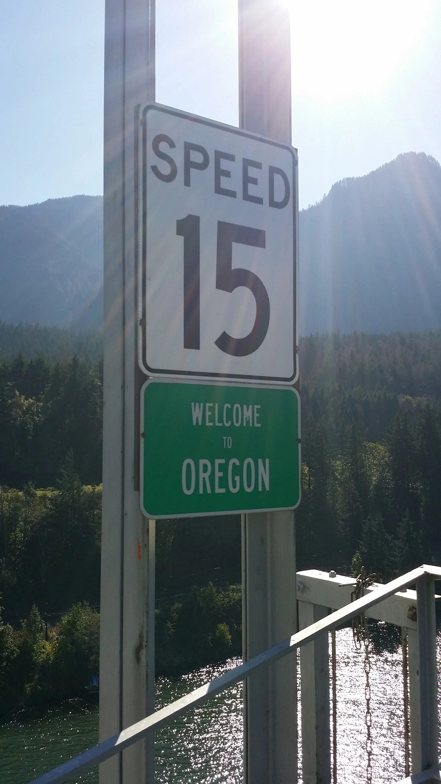
Crossing Bridge of the Gods and looking at the sign

Walking across Bridge of the Gods
The Columbia River, the largest in the Pacific Northwest, forms most of the border between Washington and Oregon. As soon as we left Portland we found ourselves traveling along the mighty river for miles, its beauty illuminated by the late morning sun.
We made our way to the city of Cascade Locks and parked our car so we could walk across the Bridge of the Gods. The two-lane bridge allows pedestrians to walk single file against traffic, following the path of northbound PCT hikers into Washington. As we crossed the bridge, we felt incredibly humbled, thinking "I can't believe we get to experience this."
Once we crossed back over, we climbed in the car and this time drove over the bridge! We stopped at the PCT entrance on the Washington state side (the Oregon side was still closed due to recent fires in the area). We unpacked our hiking poles, loaded our packs with water and snacks and got back on the trail, reminiscing our adventures on the JMT just a few weeks before. This experience was drastically different. For the first few miles, we walked parallel to the Columbia River and the nearby road. Finally, we climbed deeper into forest cover before coming out onto a dusty trail. We approached Gillette Lake (which seemed a bit more like a small pond in early October) and stopped for a snack, the sound of nearby construction ringing through the hills.
Our short PCT adventure was an out and back hike but we climbed back into the car refreshed and glad we were able to experience just a bit of the Columbia River and the surrounding areas. We could easily spend weeks there hiking, climbing, and exploring.
Our next stop would be Mount Hood National Forest! We drove on in the late afternoon through farmland, wineries, and bright green fields in the foreground of the incredible Mount Hood. The spectacular views drew us in, anxious with anticipation to camp and explore. We drove until we found a small site near Trillium Lake. The dispersed campground had fire rings and, walking just past the trees, we had a perfect view of the mountain in the sunset. Unfortunately, when you are dry camping (or camping on dispersed sites or BLM land) you don't readily have access to water. We drove around for another hour until we found a rest area and were able to fill our water jug and then finally made our way back to camp. We set up our tent, camping table, and all our gear and warmed up a meal we prepared the night before. The black bean soup (which we canned ourselves to preserve for eating on the road) has become one of our favorite recipes on our journey. Nothing hits the spot like a flavorful meal on a cool autumn night in the woods.
We climbed into our tent, grateful for our recent purchase of quilted down sleeping bags (Enlightened Equipment) and read until we couldn't keep our eyes open (and our hands outside of the covers) any longer.

The view down the Columbia River from Bridge of the Gods

The Washington side of Bridge of the Gods.

Reconnecting with the PCT. Only 507 miles? Maybe we should...

The PCT sign!

Hiking a section of the PCT on a warm autumn day.